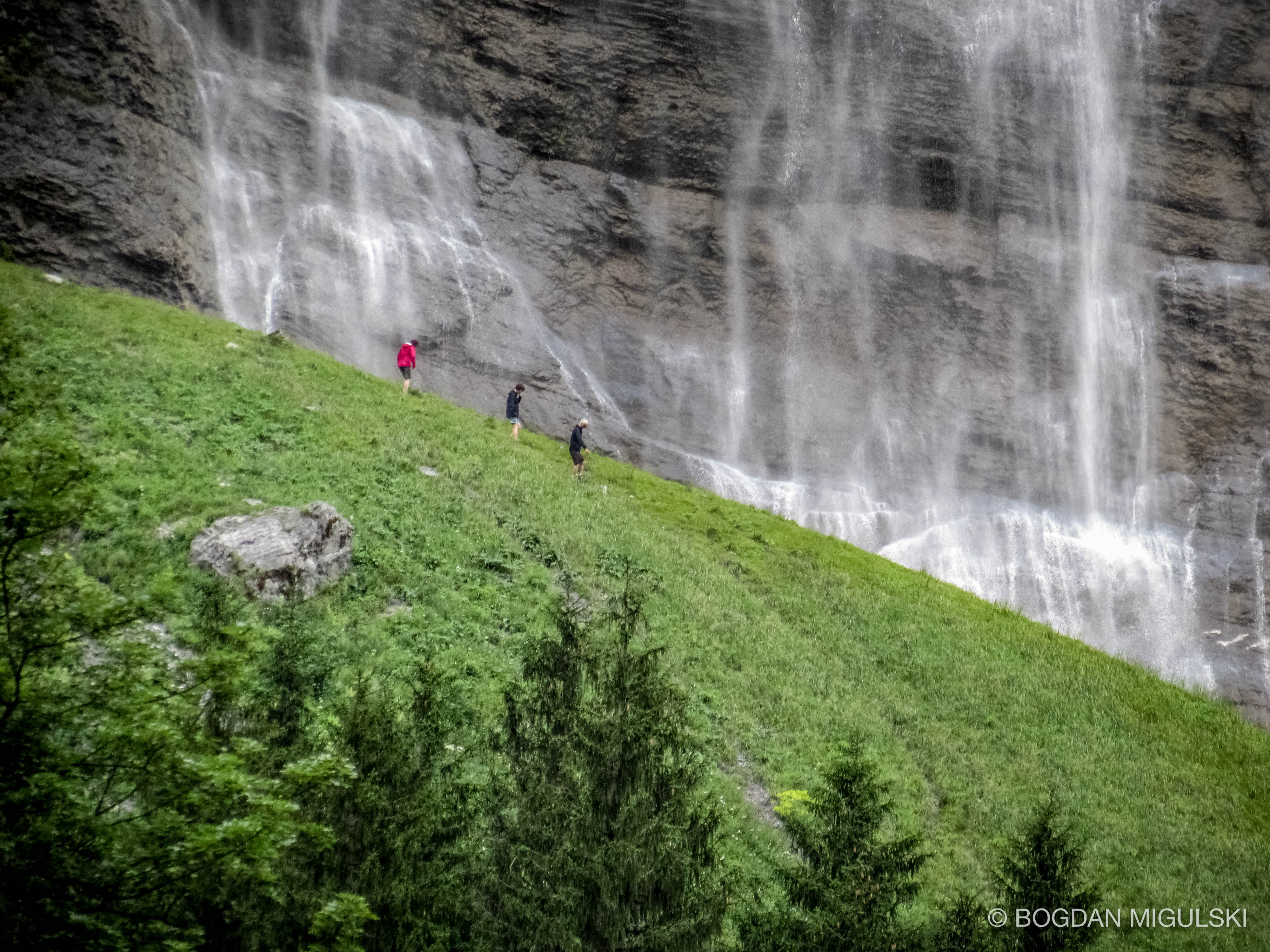
Lauterbrunnen lies at the bottom of a U-shaped valley that extends south and then south-westwards from the village to meet the 8 kilometers (5.0 mi) Lauterbrunnen Wall. The Lauterbrunnen Valley (Lauterbrunnental) is one of the deepest in the Alpine chain when compared with the height of the mountains that rise directly on either side. It is a true cleft, rarely more than one kilometre in width, between limestones precipices, sometimes quite perpendicular, everywhere of extreme steepness. It is to this form of the valley that it owes the numerous waterfalls from which it derives its name. The streams descending from the adjoining mountains, on reaching the verge of the rocky walls of the valley, form cascades so high that they are almost lost in spray before they reach the level of the valley. The most famous of these are the Staubbach Fall within less than one kilometres of the village of Lauterbrunnen. The height of the cascade is between 800 and 900 feet (240 and 270 m), one of the highest in Europe formed of a single unbroken fall. Source: Wikipedia.


