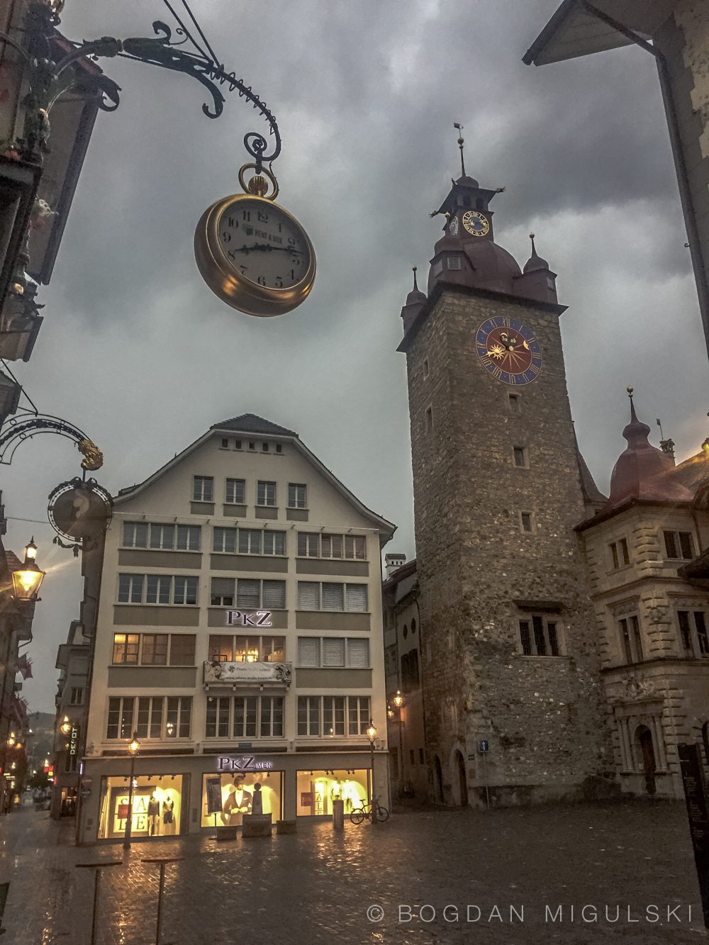
Lucerne is located at the outfall of Lake Lucerne into the river Reuss, which flows from south-east to north-west. The city occupies both banks of the river and the lowest reach of the lake, with the city centre straddling the river immediately downstream of the outfall. The city’s suburbs climb the hills to the north-east and south-west, and stretch out along the river and lake banks, whilst the recently added area of Littau is to the north-west.[
Besides this contiguous city area, the municipality also includes an exclave on the south shore of Lake Lucerne some 8 kilometres (5.0 mi) away, comprising the northern slopes of the Bürgenstock. This section of the municipality is entirely surrounded by the lake and by land of the canton of Nidwalden. It does not contain any significant settlements, but the summit of the Bürgenstock is the highest point of the municipality.[
The municipality has an area of 29.1 square kilometers (11.2 sq mi). Of this area and as of 2009, 28.0% is used for agricultural purposes, while 22.3% is forested. Of the rest of the land, 47.6% is settled (buildings or roads) and the remainder (2.1%) is non-productive (rivers, glaciers or mountains). Source: Wikipedia.


