Schilthorn’s summit is within the municipality of Lauterbrunnen, although the western slopes are within the municipality of Reichenbach im Kandertal. Both municipalities are in the canton of Bern.
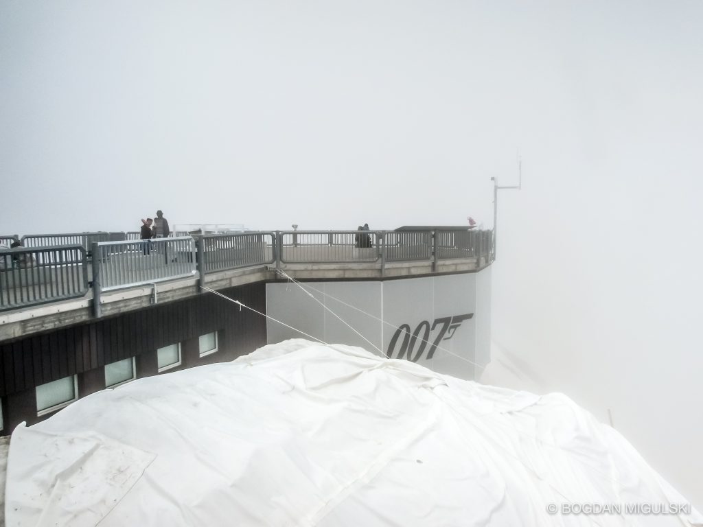
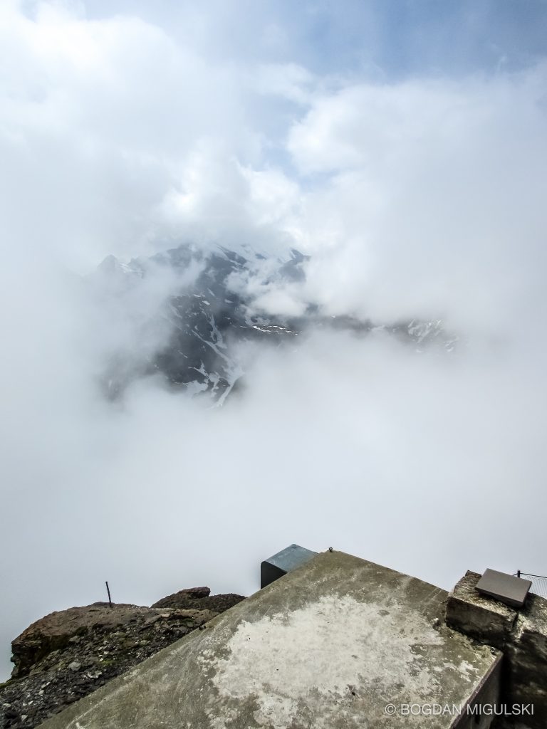
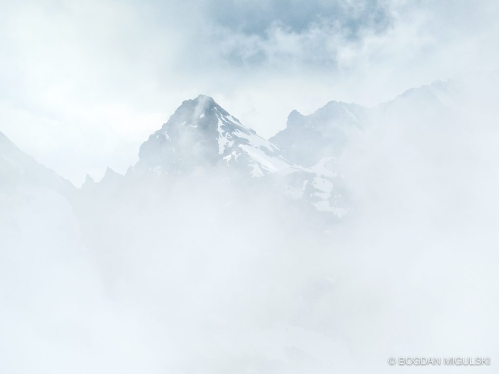
The summit has a panoramic view which spans from the Titlis, Jungfrau, Mönch, Eiger, over the Bernese Alps and the Jura mountains up to the Vosges Mountains and the Black Forest. Mont Blanc is also just visible.
To get to the Schilthorn from the valley floor, a series of cable cars must be taken. The cable cars begin in Stechelberg leaving to Gimmelwald and then onto Mürren. From Mürren another cable car is taken to Birg, which is the final change before the Schilthorn. This cable airway is the longest and was the most technically challenging airway to be built. The other way up is to take the cable car from Lauterbrunnen to Grütschalp and a train to Mürren, from where the cable car must be taken. Between Birg and the summit, the cable car passes over Grauseeli, a small lake.
It is also possible to hike to the peak, along the myriad of small, but well-marked paths to the top. The hike to the top takes roughly five hours from Gimmelwald for a fit walker. Source: Wikipedia.